
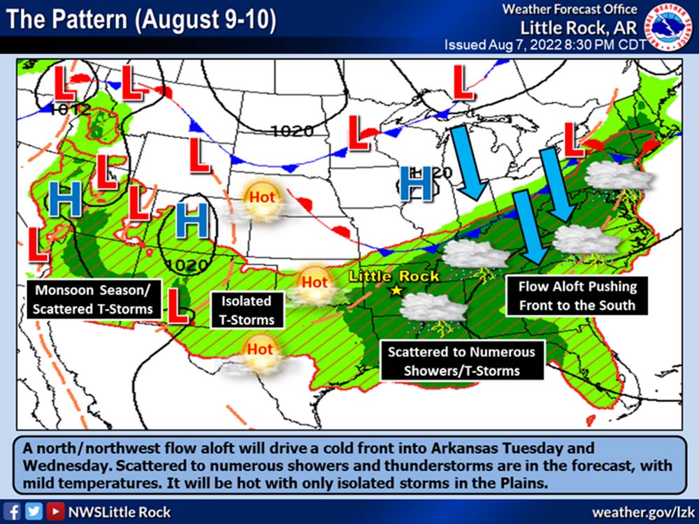
The National Weather Service is expecting a cold front to push into Arkansas Tuesday and Wednesday, brining a few scattered showers and storms and slightly cooler temperatures. The full weeklong forecast for Bradley County is available below:
Monday
A 30 percent chance of showers and thunderstorms, mainly after 4pm. Sunny, with a high near 95. Heat index values as high as 107. West southwest wind around 5 mph.
Monday Night
A 30 percent chance of showers and thunderstorms. Partly cloudy, with a low around 75. Southeast wind around 5 mph becoming calm.
Tuesday
Showers and thunderstorms likely. Partly sunny, with a high near 91. Heat index values as high as 100. Calm wind becoming west around 5 mph in the morning. Chance of precipitation is 60%.
Tuesday Night
A 50 percent chance of showers and thunderstorms. Mostly cloudy, with a low around 71. South wind 5 to 10 mph becoming light after midnight.
Wednesday
Showers and thunderstorms likely, mainly after 1pm. Partly sunny, with a high near 88. Calm wind becoming southwest around 5 mph in the afternoon. Chance of precipitation is 70%.
Wednesday Night
A 40 percent chance of showers and thunderstorms. Mostly cloudy, with a low around 71. Calm wind.
Thursday
A 40 percent chance of showers and thunderstorms. Mostly sunny, with a high near 90. Calm wind becoming east northeast around 5 mph.
Thursday Night
Partly cloudy, with a low around 71. Calm wind.
Friday
Sunny, with a high near 92.
Friday Night
Mostly clear, with a low around 70.
Saturday
Sunny, with a high near 92.
Saturday Night
Mostly clear, with a low around 70.
Sunday
Sunny, with a high near 94.