The National Weather Service has issued a Wind Chill Advisory for several counties within the SRC reading area, including Bradley, Dallas, Cleveland, Lincoln, Calhoun, and Drew Counties.
Wind Chill Advisory
URGENT – WINTER WEATHER MESSAGE
National Weather Service Little Rock AR
…WIND CHILL ADVISORY REMAINS IN EFFECT FROM NOON THURSDAY TO
NOON CST FRIDAY…
- WHAT…Dangerously cold wind chills possible. Wind chills below zero are expected. For the Winter Weather Advisory, the primary potential impact is for the potential of a fairly widespread Flash Freeze. A Flash Freeze occurs when the ground is wet, and the air temperature falls below freeing very fast, resulting in a thin sheet of ice developing along all previously wet surfaces. The ice is typically not very thick, but even a very thin layer of ice is enough to wreck havoc on the roadways.
- WHERE…Portions of northern, central, and eastern Arkansas.
- WHEN…From Thursday morning through Friday morning. The timing will vary depending on the speed of the cold front. The cold front will move from northwest Arkansas at 8 to 9 AM towards
Central Arkansas from noon through 2 PM, and through eastern Arkansas from 3 to 5 PM. The flash freeze, if it occurs, will occur approximately 30 to 45 minutes behind the front. - IMPACTS…Wind chills could cause frostbite on exposed skin in as little as 30 minutes. Rain showers are expected along and out ahead of the cold front on Thursday. Immediately behind the cold
front, air temperatures will drop 20 to 25 degrees in under an hour. Winds will shift from southwesterly to northwesterly and increase dramatically. In the 30 to 45 minutes behind the front,
if any roadways remain wet, they will very likely freeze into a thin layer of ice, leaving untreated roadways extremely difficult if not impossible to travel safely.
PRECAUTIONARY/PREPAREDNESS ACTIONS…
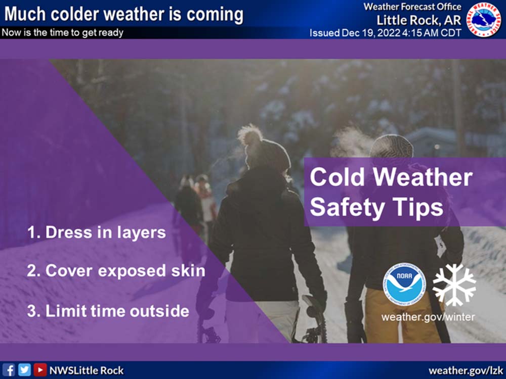
Use caution while traveling outside. Wear appropriate clothing, a hat, and gloves.
Know when the cold front is moving through your area, plan your travel accordingly. Do NOT travel behind the cold front if you don’t have to. Try to complete shopping before the front arrives
to ensure that you can get home safely.
If you are going to travel, pack a winter weather survival kit in case you slide off the road or are otherwise stranded. Pack multiple layers of clothing, pack a few layers of blankets. If you have bottled water and ready to eat meals, pack those as well.
Pack an extra power supply for your phone or other electronic devices. If you have a road flare, have that in your vehicle in case you are stranded after sunset so you can flag down help.
Updated Forecast as of Wednesday evening
Thursday
A slight chance of rain between noon and 4pm, then a slight chance of snow after 4pm. Cloudy, with a temperature rising to near 43 by 10am, then falling to around 27 during the remainder of the day. Wind chill values as low as 15. South southwest wind 5 to 10 mph becoming northwest 10 to 15 mph in the afternoon. Winds could gust as high as 30 mph. Chance of precipitation is 20%.
Thursday Night
Mostly cloudy during the early evening, then gradual clearing, with a low around 10. Wind chill values as low as -3. Northwest wind 10 to 15 mph, with gusts as high as 30 mph.
Friday
Mostly sunny, with a high near 22. Wind chill values as low as -2. Northwest wind 10 to 15 mph, with gusts as high as 25 mph.
Friday Night
Partly cloudy, with a low around 13. Northwest wind around 5 mph.